Aims
The aim is to gather detailed information on the structure of the snow cover in specific plots. Different methodologies are applied in the same basin to compile detailed information to be used to calibrate and validate the hydrological model WiMMed (see “Creation of a hydrological model for Sierra Nevada: snow and water flows”).
Method and effort
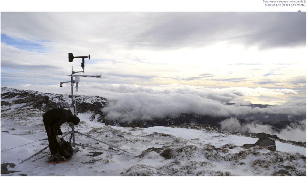
Three specific meteorological stations were installed to monitor the snow in a pilot basin in Sierra Nevada.
- Two of these, located at 2,900 and 2,300 m a.s.l., respectively are multiparametric stations with the particularity of measuring the thickness of the snow layer, its temperature, and the solar radiation. Furthermore, they gather also typical meteorological data (temperature, wind velocity, precipitation, etc.)
- A third station, situated at 2,600 m a.s.l. with a view of the entire upper part of the study basin, allows automatic photographs to be taken of the snow distribution. Six photos were taken daily to ensure its quality.
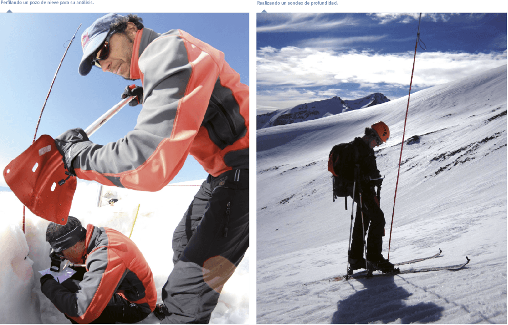
In a parallel way, over the transects (500-4,000 m), depth probes are made, density samples are taken, and the snow wells are examined
- The distance between sampling points is 200 m; each sampling point includes 5 replicates in a cross pattern, one m apart, to homogenize the values.
- The snow-density samples were made at fixed points, searching for significant changes in the type of snow.
- In the snow wells information is collected to characterize: density, thickness, hardness, temperatures, microstructure (crystals), macrostructure (layers identifiable to the naked eye) and depth.
All the data gathered were georeferenced.