Aims
The human footprint gives us an integrated assessment of the pressure that the ecosystems are undergoing as a consequence of human activity. This methodology shows quantitatively the impact on the ecosystems.
Method and effort
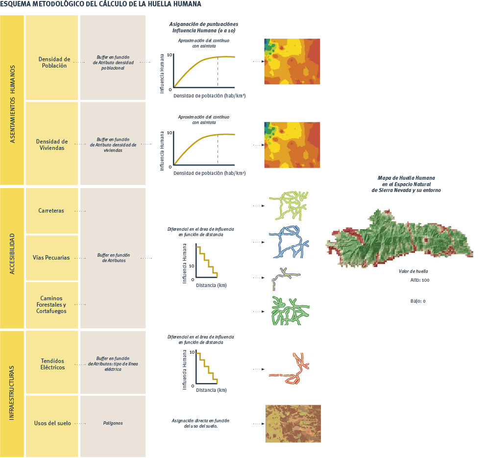
The methodology followed for the analysis of the human footprint in Sierra Nevada is based on the most relevant studies conducted to date, which are summarized in the following steps:
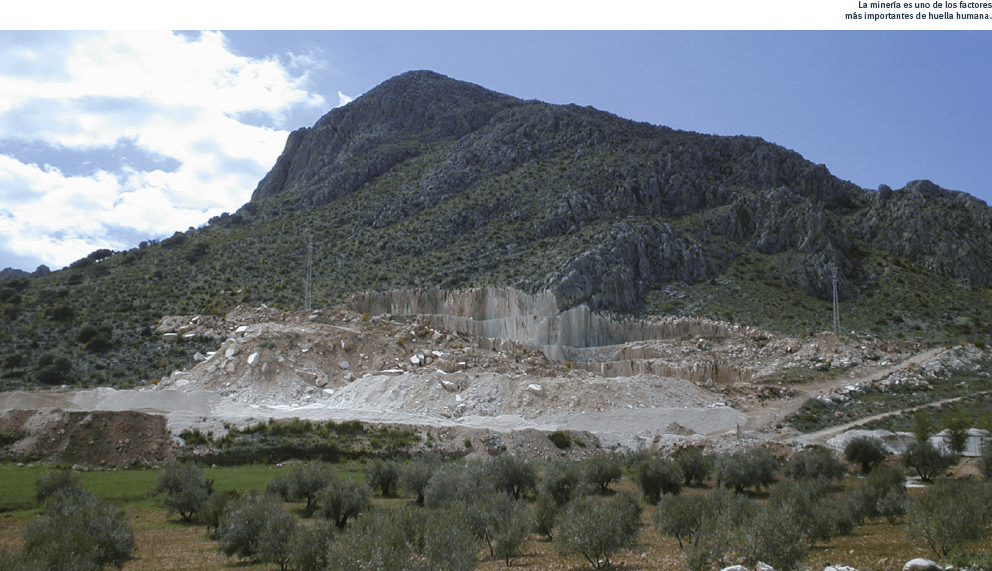
- The information is compiled on the variables that define human activity in Sierra Nevada and that determine the structure and functioning of the ecosystems with respect to the population, accessibility, infrastructures, land use, public use, fragmentation, etc.
- The spatial scale of each layer of information is analysed (ecological and of human activity) to decide the appropriate scale of the work.
- Each variable is assigned an influence value throughout the study territory between 0 and 10 as a function of the information available in the scientific literature. For this, different buffer areas of each factor are established, these presenting a range of descending values of influence as the distance increases away from the alteration.
- Human-influence values of all the variables are added to find an index value for human influence in each territorial pixel. This gives a range of values in the territory.
- The information is normalized to transpose the footprint map into a range of values from 0 to 100.