Aims
The aim is to detect possible variations in the composition and structure of the riparian plant communities. The data gathered can be related to the monitoring of fluvial systems.
Method and effort
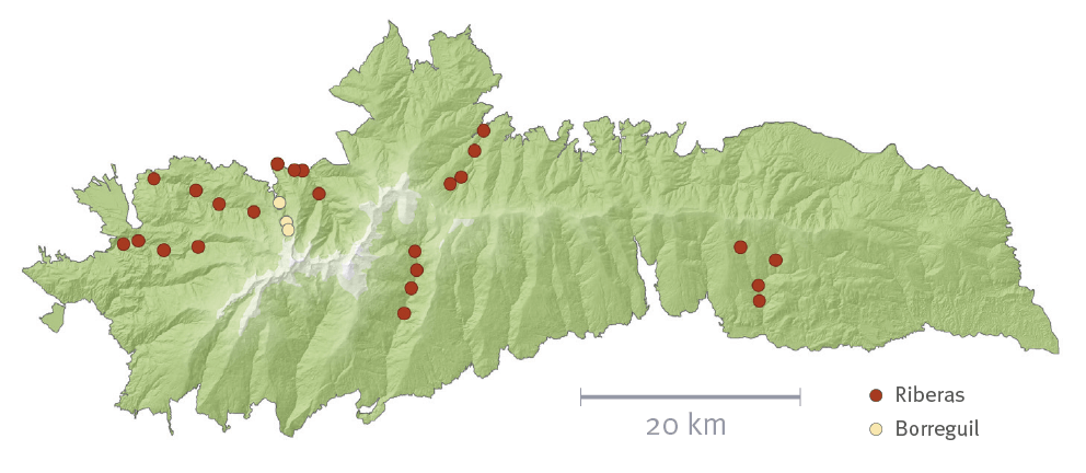
Rivers with permanent flow and minor alteration in the plant cover have been selected. Sampling points have been established in the monitoring of fluvial systems.
Thus, 3 sampling points are established on 6 different riverbanks. In an upper elevation the density of the riparian tree or shrub vegetation diminishes drastically or does not appear, a point to follow the same monitoring process is established as described for the points with riparian vegetation.
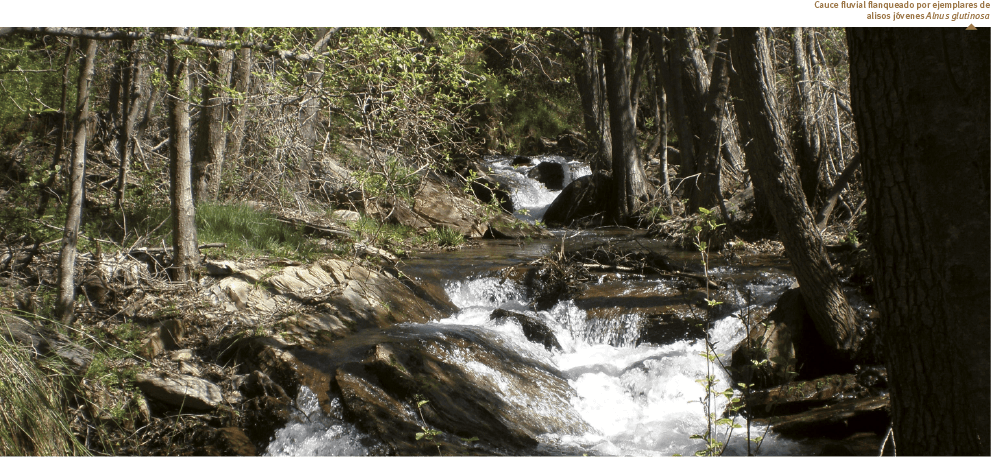
After the sampling point is selected, a sequence of 8 squares of 5 m x 5m are laid out in parallel on the riverside. The process is repeated symmetrically to install another 8 squares on the opposite shore. In each square, the total plant coverage is estimated. Afterwards, the species present are enumerated and each level of abundance-coverage is indicated in each square (according to the values r, +, 1, 2, 3, 4, and 5) and number of feet for the species with tree or shrub habit (according to the values 1, 2, 3, 4, or ∞).