Geographical dictionaries are toponym-based catalogs that date back to the late 16th century, created to organize and systematize geographic knowledge. For a specific area, they list and describe towns, villages, parishes, town halls, states, populations, rivers, mountains, and other geographic features. The most significant dictionaries containing relevant information on vegetation and land use are those by Tomás López, Miñano, and Madoz. Through this map, you can access information from all these geographical dictionaries and the Ensenada Cadastre for the Sierra Nevada municipalities. Click on the different municipalities to view the associated information.
Tomás López’s Geographical Dictionary
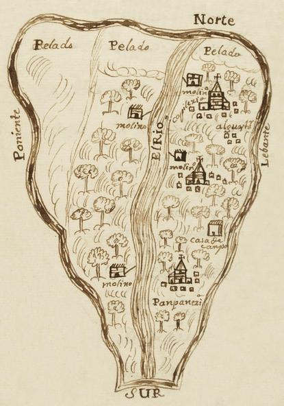
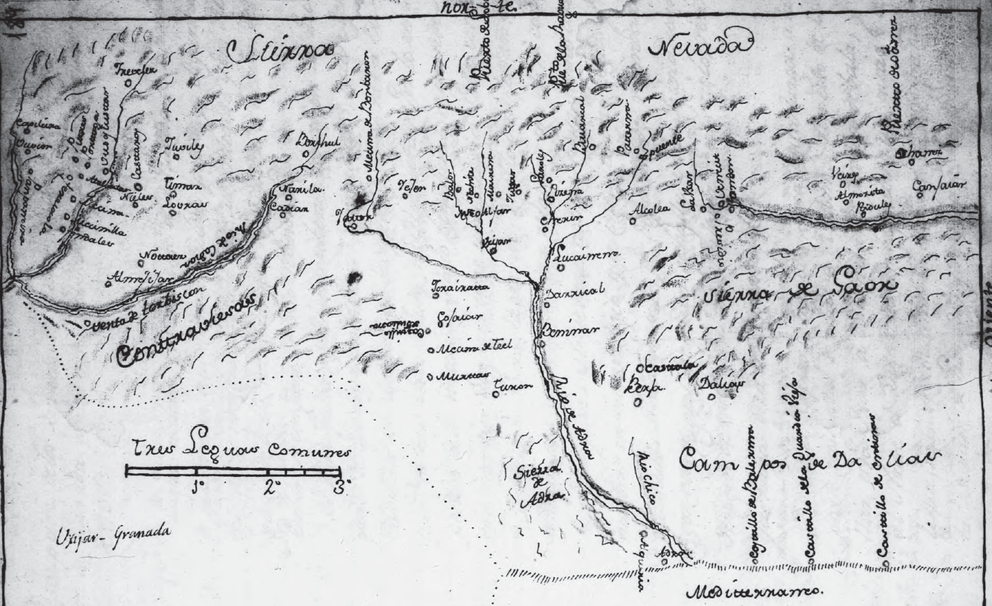
Tomás López was a Spanish geographer and cartographer born in Madrid in 1731. To compile his dictionary, he sent questionnaires to parishes requesting information on the location of their towns, rivers, mountains, and roads. In addition to the questionnaire, respondents were asked to create a map or plan of their territories, marking villages, forests, roads, and other features of interest. When Tomás López died in 1802, he had only to finalize and prepare the material for publication. All this information is currently held in the Manuscripts section of the National Library of Spain.
Sebastián Miñano’s Geographical Dictionary
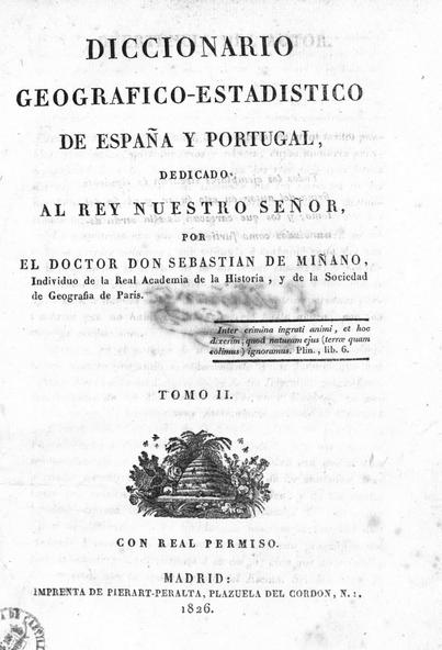
The Geographical and Statistical Dictionary of Spain and Portugal was completed in 1829. Its author, Sebastián de Miñano y Bedoya (1779-1845), was a Spanish writer, journalist, geographer, historian, and politician. Published in 11 volumes between 1826 and 1829, the work earned him a seat in the Royal Academy of History.
Miñano’s primary sources remained the parish priests, to whom he wrote individually, requesting "certain and positive notions of their respective towns and those nearby."
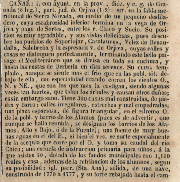
Pascual Madoz’s Geographical Dictionary
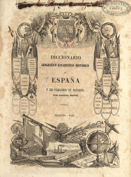
The Geographical-Statistical-Historical Dictionary of Spain and its Overseas Possessions was published by Pascual Madoz between 1846 and 1850. Comprising 16 volumes, it analyzes every settlement in Spain. At the time, it represented a significant improvement over Miñano’s 1829 dictionary. Madoz was assisted in this massive undertaking by over a thousand collaborators and twenty correspondents.
Ensenada Cadastre
Starting in 1749, a meticulous large-scale inquiry was conducted across the 15,000 localities of the Crown of Castile (excluding the Basque provinces due to tax exemptions). This census covered inhabitants, land holdings, buildings, livestock, trades, and income, as well as the geographical characteristics of each town. Ordered by King Ferdinand VI at the proposal of his minister, the Marquis of Ensenada, it is known today as the Ensenada Cadastre. Between 1750 and 1754, every town in "the Castiles" was subjected to a 40-question interrogation. The Cadastre was the intended precursor to a tax reform—which never took place—aimed at replacing complex provincial taxes with a Single Contribution based on "equity and justice, in proportion to what each person owns."